
Dialann allamuigh · Field journal · 20 October 2026
Menlo — First Field Visit
Informal preliminary field record — not a verified archaeological discovery.
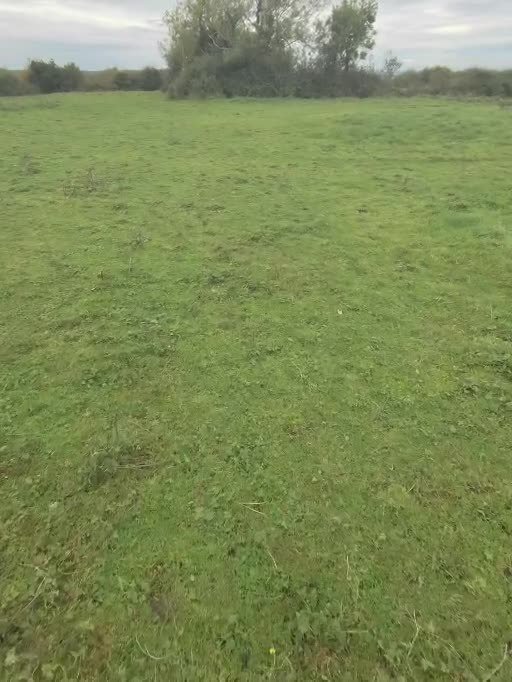
Notes from a first, look-only walkover in the Menlough (Menlo) townland area near Galway city, Co. Galway. They are recorded as seen on the day, without measurement, and they have not been checked by an archaeologist.
Location is given at townland level only. Exact coordinates are withheld on purpose. The land is private: do not visit without the landowner’s permission.
Observations
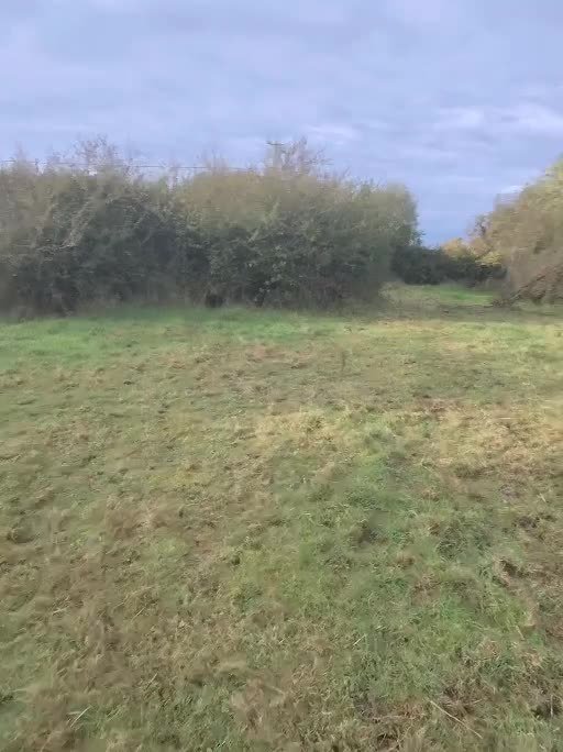
- An old dry-stone wall at the accessible end of the field. Its direction was noted only roughly, by eye.
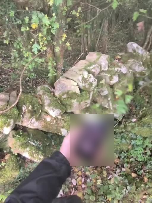
- Inside the wall, a single mound of earth and stone, judged by eye to be about 4–5 m across. Its height was not measured.
- One large rock protrudes from the mound.
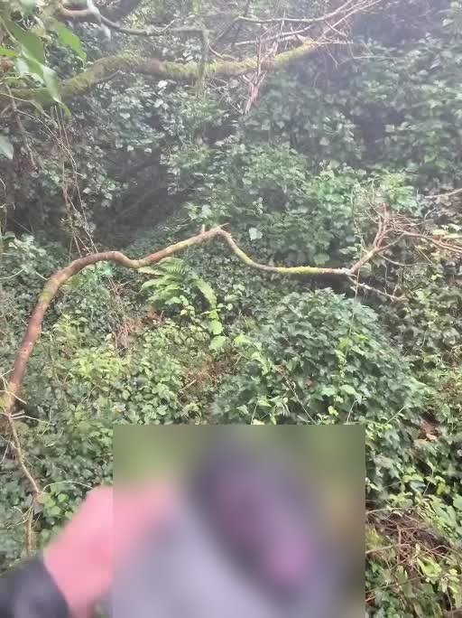
- Heavy vegetation (trees, ivy and brambles) covers the area.
- A strip of about 15 m (estimated) runs on from the mound under the trees. Its far end was not inspected.
- Water is visible beyond the woods.
- The area could be reached from one corner only.
Photos
Stills and photos supplied after the visit. Phone screens in the third and fourth photos below are blurred.
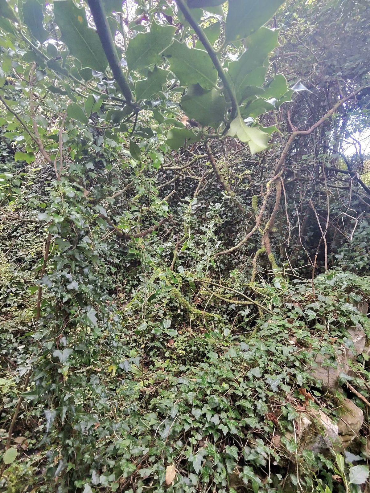
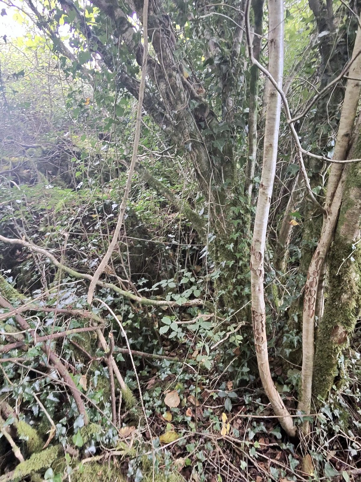
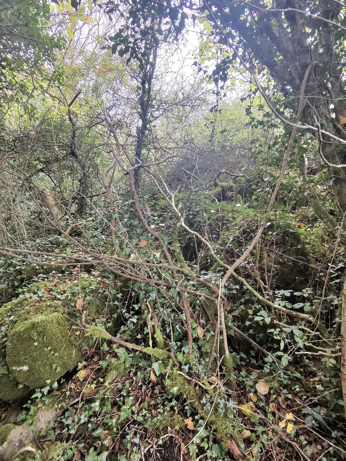
Uncertainties
- All sizes are visual estimates. Nothing was taped or measured.
- Compass readings were taken with an uncalibrated phone, sometimes close to other electronics, so no bearings are given here. An earlier suggestion of an alignment has been withdrawn.
- Phone GPS under trees can be tens of metres out. It is not certain which feature on the ground the notes describe.
- It is not known what the mound is, whether the protruding rock is natural or placed, or how the wall relates to the mound.
- The 15 m strip may be only vegetation, a boundary or a natural slope. It has not been examined.
- Earlier sketches that showed several stone heaps were speculative and have been discarded.
- The photos have no scale and no recorded viewing direction.
Next survey tasks
Look only. No clearing, digging, probing, climbing on or moving stones without National Monuments Service consent and the landowner’s permission.
- Confirm the date, route, gates and livestock with the landowner before going back.
- Photograph the mound from four sides, with a scale in each shot and the direction faced noted.
- Photograph the protruding rock from two views at right angles, with a scale.
- Photograph the wall along its length in both directions from where it meets the mound.
- Record GPS with its stated accuracy, averaged for at least two minutes, at the mound and at the access corner (kept private).
- Calibrate the compass away from metal and electronics, and take repeated readings in both directions.
- Measure the mound and any large stones with a tape, not by pacing.
- Record only the visible extent of the 15 m strip. Do not enter dense growth.
- Check historic maps, aerial imagery and the official monument records before drawing any conclusions.